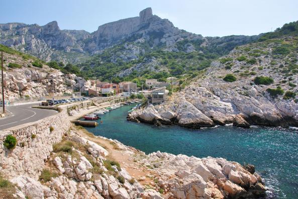
The Calanque de Callelongue is located at the end of the coastal road, at the southernmost tip of Marseille.
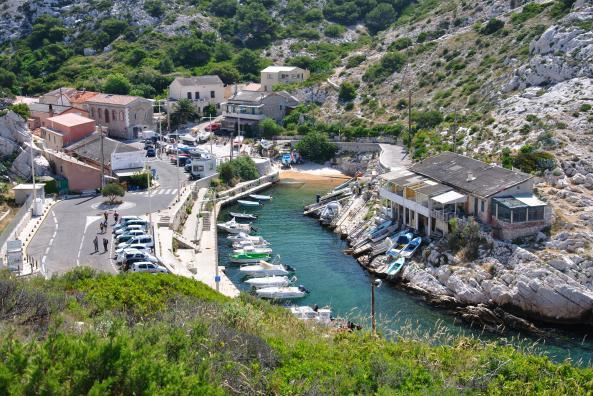
In this dead-end between the sea and the Marseilleveyre Massif, you will find a picturesque small port, cabins, a diving club, the bar restaurant "La Grotte," and the last stop of bus number 20.
Not to mention a drinking water fountain, much appreciated by hikers.
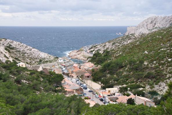
At the viewpoint near the parking lot on the descent to Callelongue, the landscape is already breathtaking: a panoramic view of the open sea, the Maïre Island, the Riou Archipelago, the Calanque de Callelongue, and the hill known as the "Rocher des Goudes" with its visible limestone cliffs and the cave "grotte de l'Ermite".
Entrance to the Calanques National Park
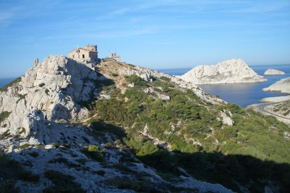
The old semaphore of Callelongue, overlooking the calanque, bears witness to the maritime past of this calanque. Left abandoned for many years, the semaphore has finally been entrusted by the state to the Calanques National Park. Today, after renovation, it serves as a public facility for environmental awareness. The passage through the semaphore is a step to include during your next hike in the calanques From its elevated position at approximately 110 meters above sea level, the panoramic viewpoint is magnificent, encompassing the coastline of the calanques extending to La Ciotat, Cap Croisette, Les Goudes, and providing a complete view of the Riou Archipelago.
Hiking in the Calanques
The wild part of the calanques massif begins here, including the coastal hiking trail GR98-51, which allows you to reach the calanque de Marseilleveyre in one hour. Moreover, by crossing Callelongue on foot, after the pétanque field and the last cabins, the hiking trail begins its ascent to the "Rocher des Goudes", where you can find the caves of "Saint Michel d'eau douce", "Grotte de l'ours," and "Grotte de l'Ermite." Near the latter, a small cliffside path grants access to the breach of "pas de la Demi-lune", allowing for a risky but thrilling passage to the other side of the cliff.
-
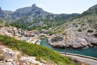
Callelongue, at the south end of Marseille
-
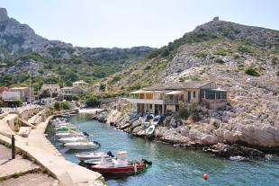
Port and cabins
-
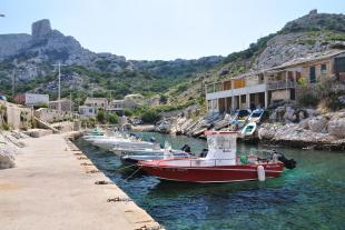
Boats
-
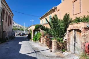
Small street
-
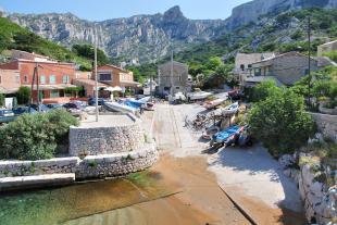
Launching Ramp
-
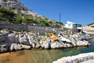
The end of the port
How to get there
- Route: Start from the Pointe Rouge area, to La Madrague de Montredon, then keep driving on the road to les Goudes until the end.
- Parking: The Napoleon parking lot and the descent to Callelongue offer free parking spaces but very quickly saturated in the morning. In addition, a barrier installed in season limits vehicle access to the calanque. It is advisable to take the bus.
- Bus: Take the bus 19 from Rond Point du Prado, to La Madrague de Montredon, then take the bus 20 to Callelongue.
