Hiking trail from Callelongue to the calanque de Marseilleveyre
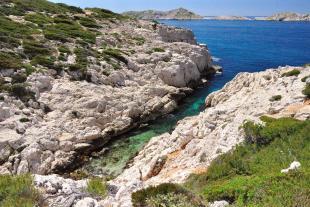
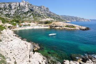
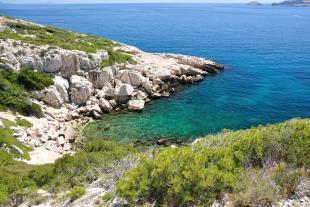
The path starting from Callelongue follows the GR98-51 trail and allows you to get easily to the calanques de la Mounine, Marseilleveyre, les Queyrons and Podestat. After going around the semaphore, the path goes along the sea and it is a beautiful viewpoint on the Riou archipelago.
Route information
- Distance / Duration: La Mounine 0,9km (30min), Marseilleveyre 2km (50min), Les Queyrons 2,6km (1h), Podestat 3km (1h15)
Plan the same walking duration on the way back. - Starting point: Callelongue
There are some parking spots on the way down to Callelongue and a big parking in the heights. There is also a clean water fountain near the port. - Difficulty level: Easy hike, very frequented.
Just be careful with the rocks polished by hikers passing by, they have become slippery along the way.
Route from Callelongue to Podestat (Recommended itinerary)
- Follow the black-marked hiking trail along the sea going around the semaphore.
Alternative route (less frequented area)
- Take the yellow marked path going up to the semaphore col.
- Go down by the black dotted line path to get to the main path.


